Ganga River
- Team Walking The Himalayas
- Dec 8, 2021
- 3 min read
The Ganges is one of the most important rivers of India. It is a huge river in the plains of North India. The Ganges, covering a distance of 2,510 km in India and Bangladesh, originates from the Himalayas in Uttaranchal and flows into the Bay of Bengal covering about one-fourth of India's land area. River Ganges has also been called the backbone of the economy of North India.

In Indian languages and officially, the river Ganges is known internationally by its anglicized name 'The Ganges'. The Ganges has been a sacred and revered river of Hindus for millennia. The Ganges is a broad and slow stream for most of its course and flows through the most fertile and densely populated areas of the world. Despite this importance, its length is 2,510 km, which is not much compared to Asia or the world level. The holy river of India, whose bath in the stream leads to absolution from sins and purification by drinking water. This famous river originates from Gangotri in Himachal Pradesh and joins Gangasagar beyond West Bengal through Madhyadesh. The Ganges valley is one of the most fertile valleys in the world and many rivers like Saryu, Yamuna, Son etc. join it.
Characteristics of Ganga
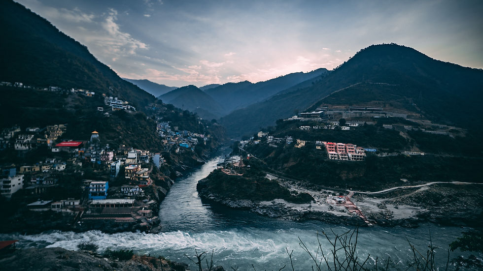
The Ganges originates in the southern Himalayas from the Indian side of the Tibet border. Its five early streams Bhagirathi, Alaknanda, Mandakini, Dhauliganga and Pindar originate in the Uttarakhand region, which was a division of Uttar Pradesh (present-day Uttaranchal state). Of the two major streams, the Big Alaknanda originates 48 km from the Nanda Devi peak of the Himalayas and the other Bhagirathi originates in the snow cave at an altitude of 3,050 meters in the form of a glacier named Gangotri in the Himalayas. Gangotri is a pilgrimage place for Hindus.

Gomukh, located 21 km south-east of Gangotri, is considered to be the real origin of the Ganges. The main branch of the Ganges river is Bhagirathi, which originates from the Gangotri glacier at a place called Gomukh in the Himalayas in Kumaon. The height of the origin of the Ganges is 3140 meters. There is also a temple dedicated to Ganga Ji here. The Gangotri shrine is the mouth of this glacier, 19 km north of the city at an altitude of 3892 meters (12,770 ft).
The geographical extent of Ganga
The largest river system of the subcontinent is located in the Ganges basin. The water supply here is mainly from the southwest monsoon from July to October and the Himalayan snow that melts during the summer season from April to June. The river basin also receives rainfall from the monsoon tropical storms that originate in the Bay of Bengal between June and October. There is very little rainfall in December and January.
Tributaries of Ganga
The main tributaries of the Ganges coming from the north are the Yamuna, Ramganga, Karnali (Ghaghara), Tapti, Gandak, Kosi and Kakshi and the major rivers coming from the plateau of the south are Chambal, Son, Betwa, Ken, Southern Tos. etc. The Yamuna is the most important tributary of the Ganges which originates from the Yamunotri iceberg at the base of the Bandarpunch peak of the Himalayas. Tons in the upper part of the Himalayas and later on coming into the Lesser Himalayas, the Giri and Asan rivers meet in it. Chambal, Betwa, Sharda and Ken are tributaries of Yamuna.
Historically, the Gangetic plain has formed the heart of India and it became the cradle of various civilizations that came later. Ashoka's BC Pataliputra (Patna), the centre of his empire was situated on the banks of the Ganges in Bihar. Delhi and Agra, the centres of the great Mughal Empire, were also located on the western borders of the Ganges basin. In the middle of the seventh century, Kannauj, located on the banks of the Ganges, north of Kanpur, which covered most of northern India, was the centre of Harsha's feudal empire.

Comments